Bisti/De-Na-Zin Wilderness
Just 40 minutes south of Farmington, New Mexico lies about 45,000 acres of designated wilderness area containing the most fantasy-like rock spires, caps, pinnacles, hoodoos, and other usual formations in the four corners area, arguably in the country. Translated from the Navajo language, Bisti (Bis-tie) means “a large area of shale hills” and De-Na-Zin (Deh-Nah-Zin) means “cranes”. This area is also (and more commonly) referred to as the Bisti Badlands, defined by its dry, rugged terrain characterized by intense erosion, minimal vegetation, and network of deep gullies and ravines. As with other BLM designated wilderness areas, there are no marked trails or wayfinding signage. Cell phone service is severely lacking to non-existent; therefore, I would HIGHLY recommend downloading and familiarizing yourself with the “trail” maps before you leave on your trip. Along with your map, bring your sunscreen, sunglasses, a good hat, snacks, and plenty of water (I brought 3 liters).
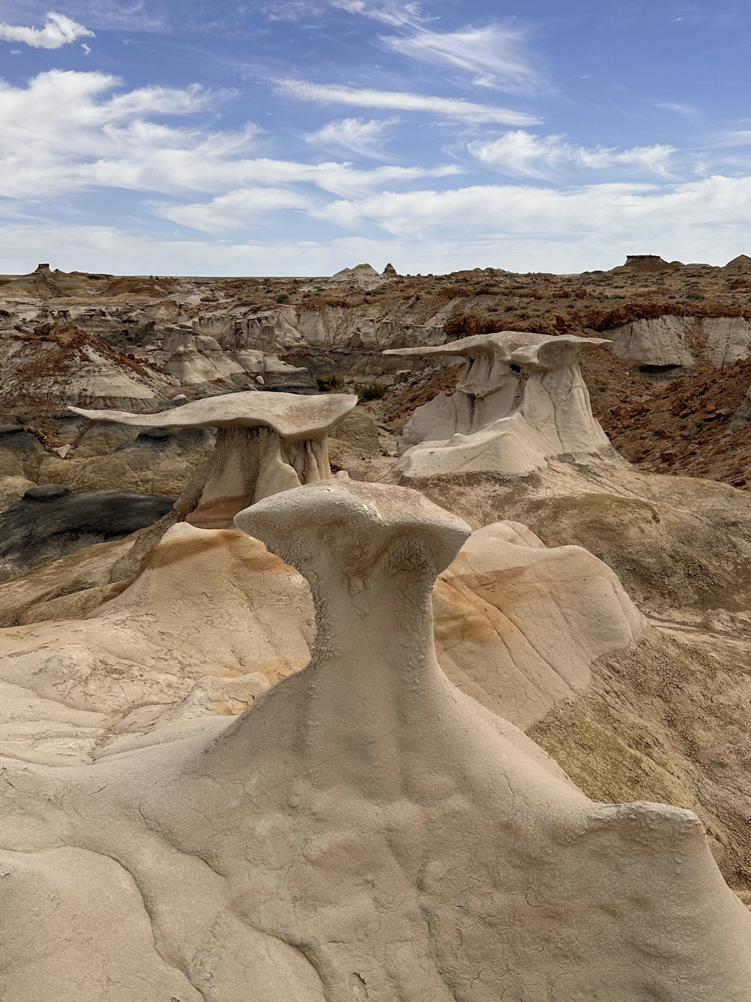
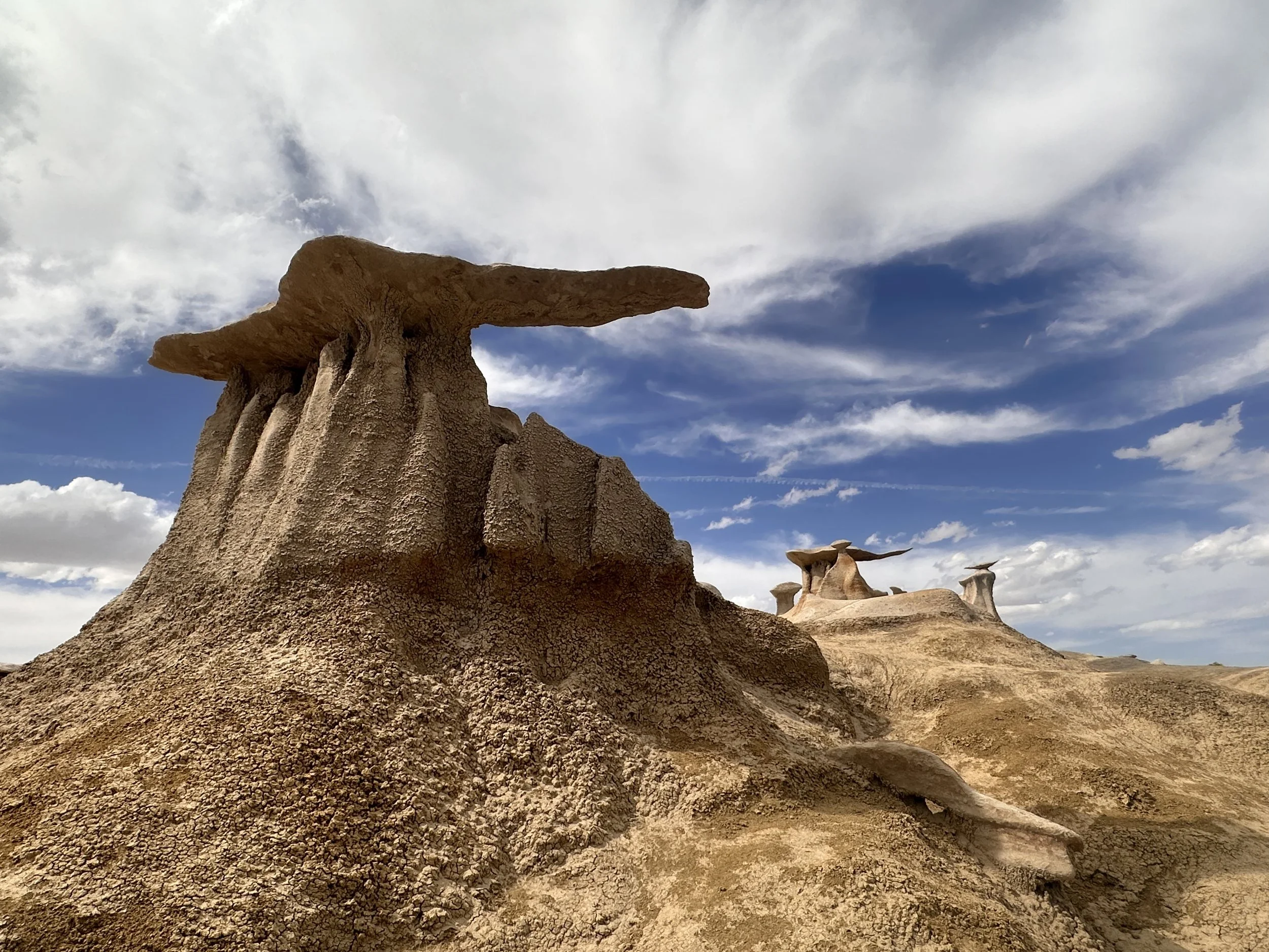


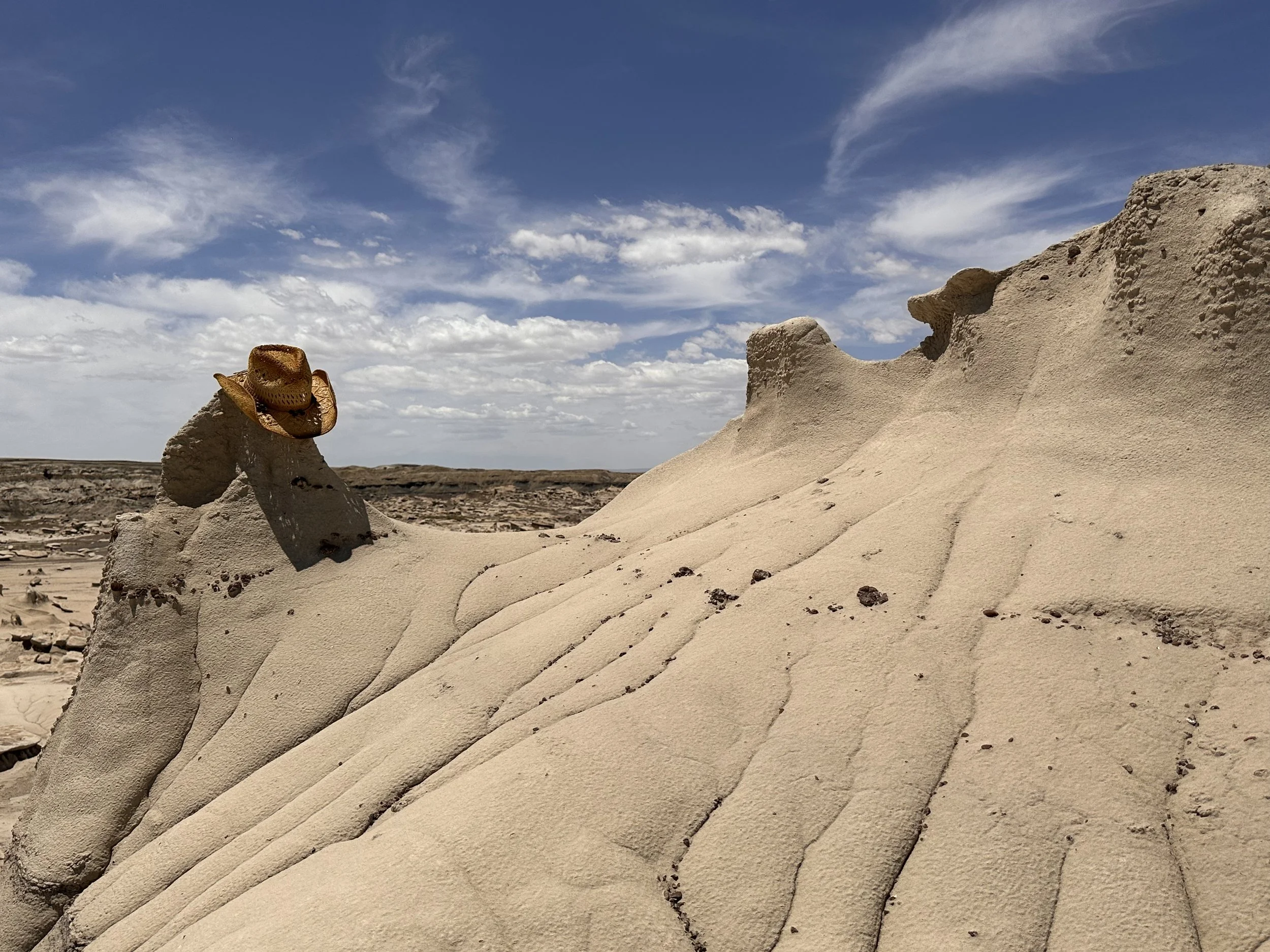
If hiking the Bisti Wings Trail, head towards the Bisti Badlands North Parking lot, off County Road 7290. Shortly after taking the right hand turn onto 7290 from 7295, you will see a rather unapproachable church. Congrats, you are in the right place! Stay to the left (away from the church) and continue down the dirt road to find the undefined parking lot with no real sign of a trailhead adjacent to barbed wire fencing. Everything about this environment was saying “turn around, you are in the wrong place”, but my map was saying otherwise so I parked and squeezed through a slim break in the fence line. Well I’ll be darned! The trail WAS on the other side of that barbed wire fence, next to the unmarked parking lot, just down the street from the (possibly abandoned?) church. The trail was moderately defined, sparsely populated and easy-ish to follow. These things, these wings! Worth it. The cantilevered waves sitting on eroded pillars are unworldly.
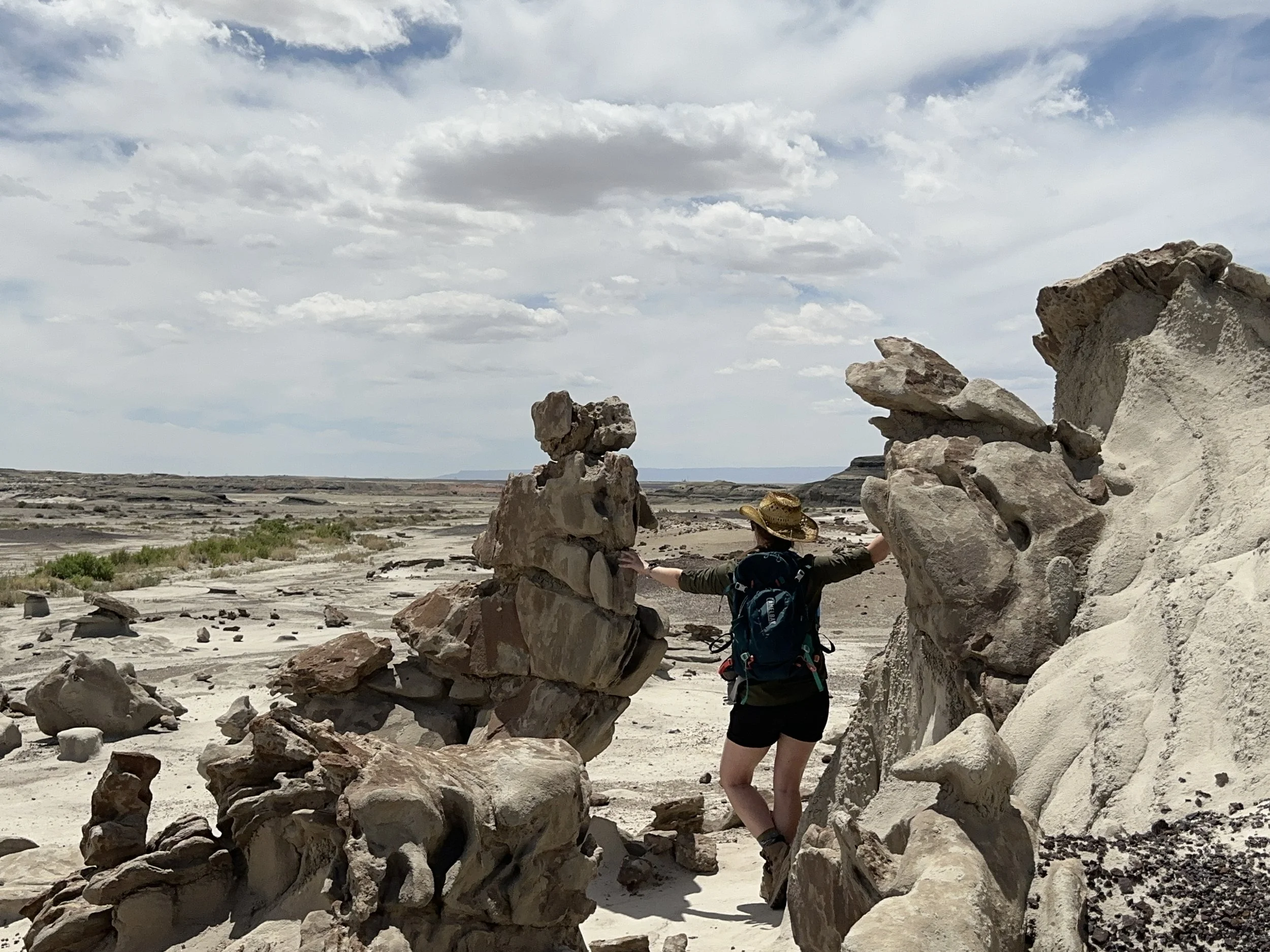

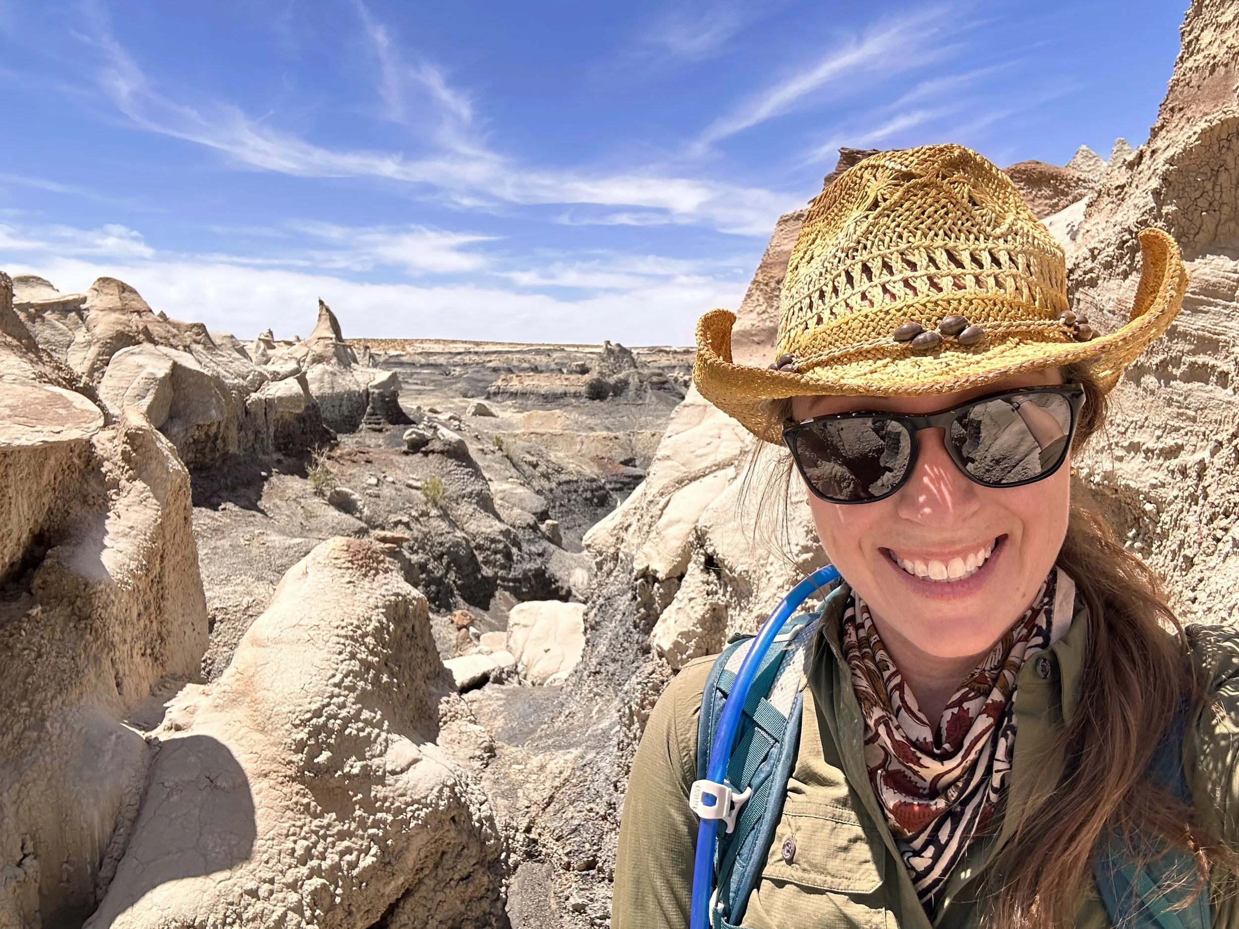

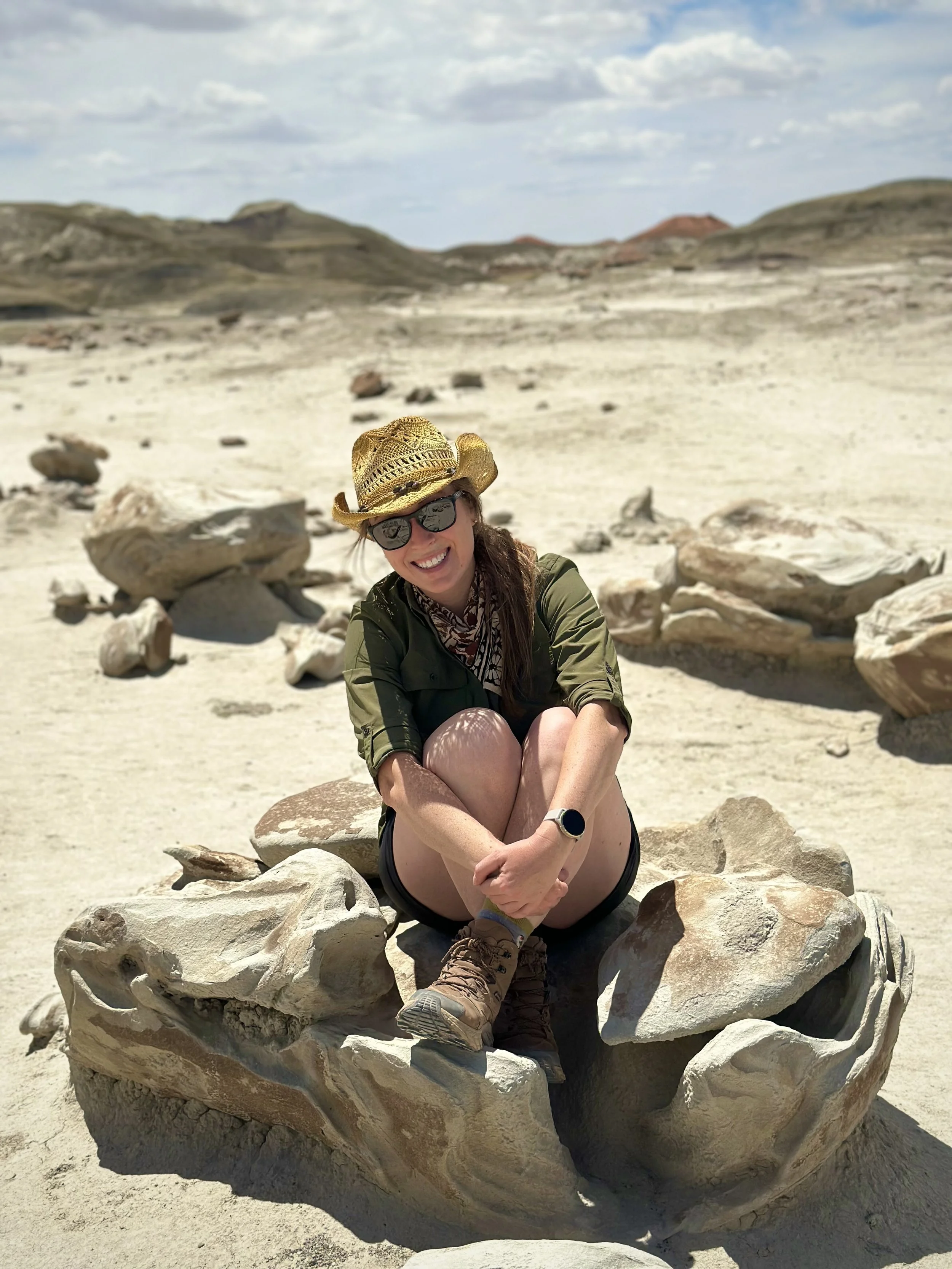
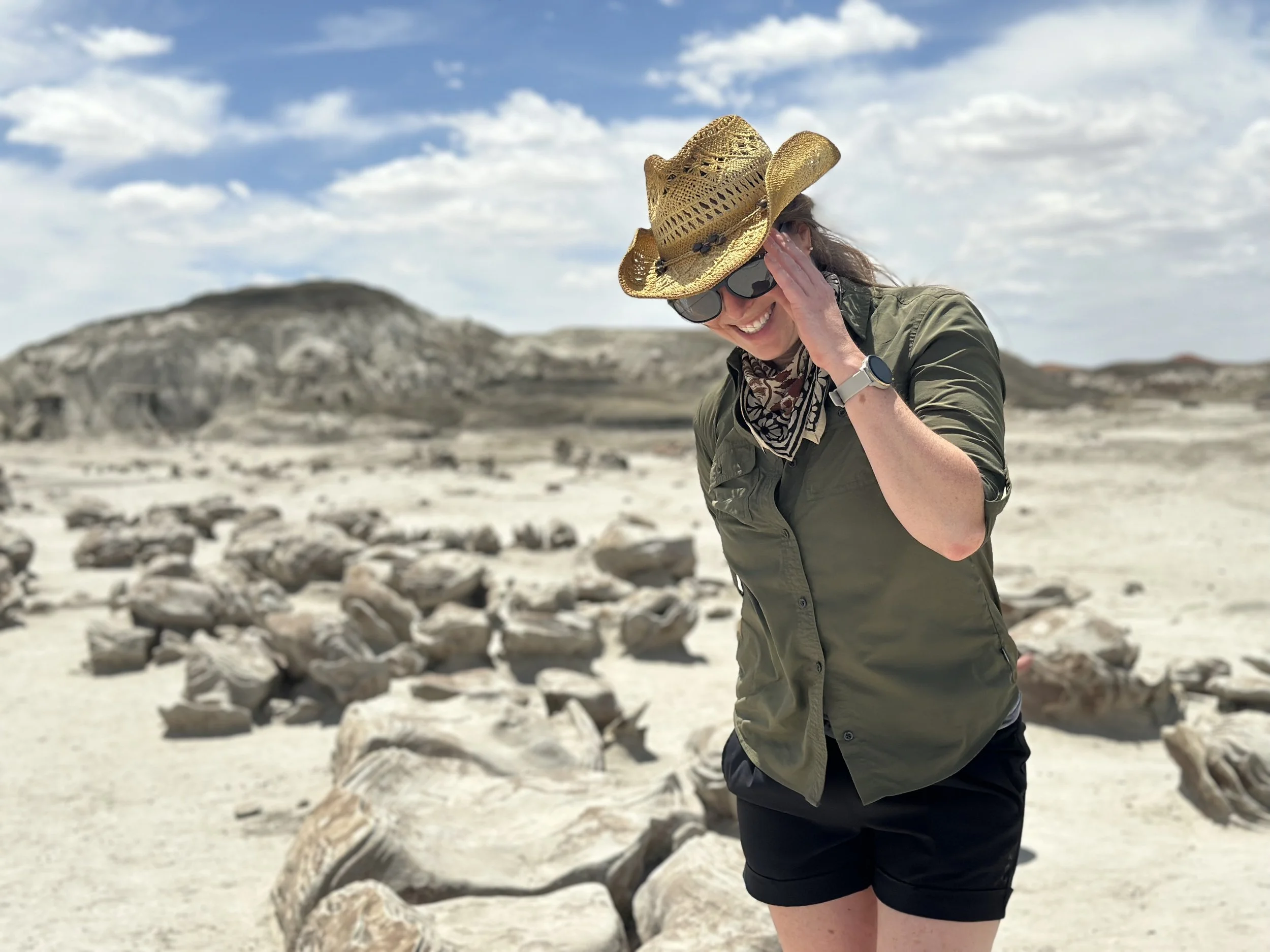
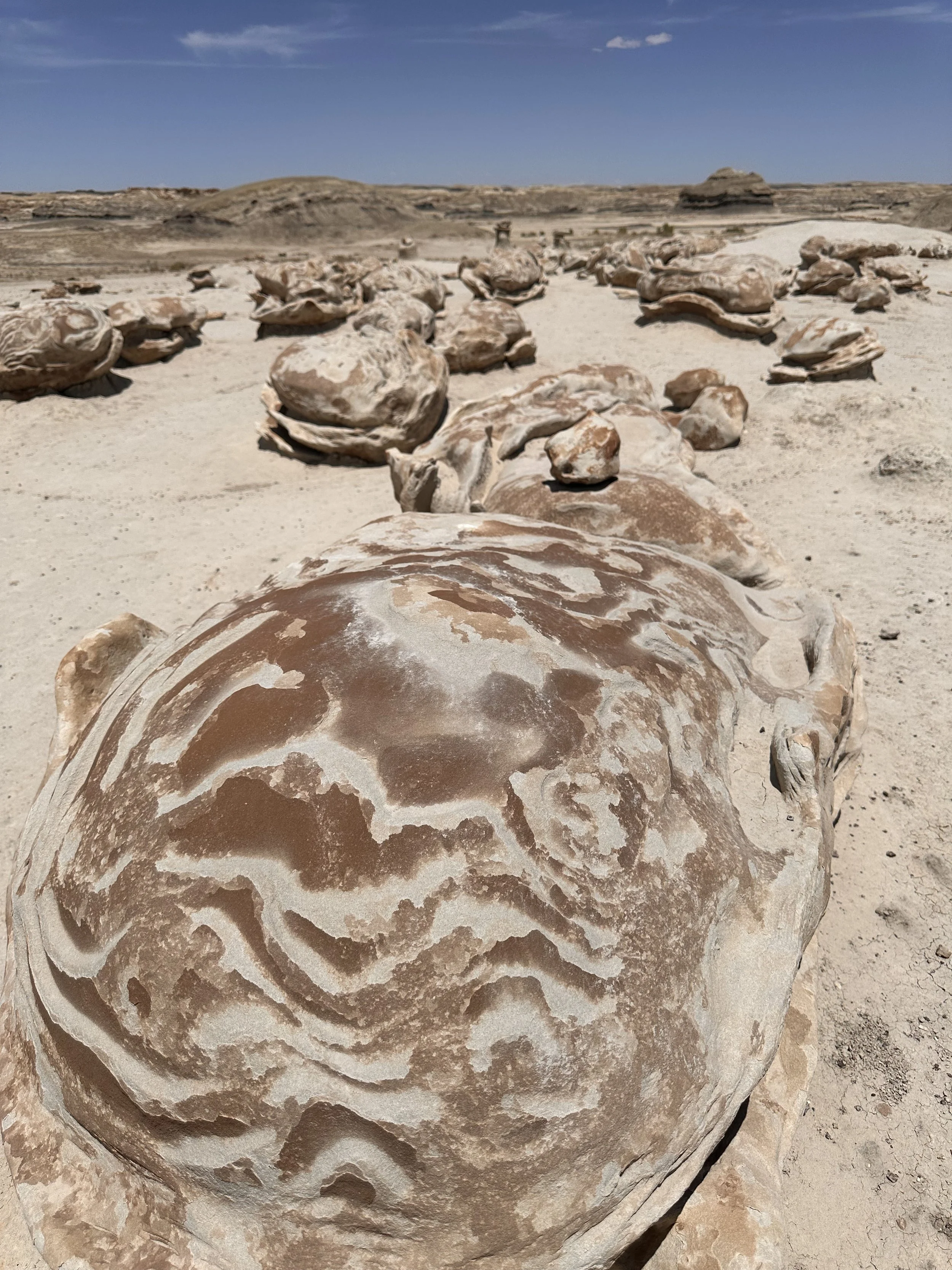
If hiking the Bisti Badlands Trail, expect a sizable dirt parking lot (also off County Road 7290) with signage reflecting the wilderness area rules and a sun-bleached map void of any actual wayfinding lines. There is a nice picnic area with tables, an awning, and a nearby vault toilet. Once through the gate and into the wilderness area, you are on your own so be sure your phone is charged, your map is downloaded and your water is topped off. Anticipate having your phone in hand (almost the entire time) to follow said “trail” to the various points of interest. Walking counter-clockwise is the most direct route to the points of interest, starting with the Chocolate Hoodoos followed by a view of Flattop. By the time you get to Flattop, you might be feeling like you got the vibe of this unique wilderness area and be tempted to turn around, DON’T! The cracked eggs are next and they are worth the extra steps, I promise.


I skipped the petrified wood and cut across the loop towards the Bisti Arch (which I could not find) and the Bisti Rock Garden. The rock garden was my last stop before heading back to the trailhead and proved to be serene and rather meditative. On the trek back, I was stopped by (literally) every person I passed as they were all in need of a map! I cannot emphasize this enough, download the map. It is easier to get lost in these badlands than it is to pay for coffee with a tap of your phone.
Other trails in the area include the King of Wings Trail and the Bisti Wash Loop (longer version of the Bisti Badlands Trail). If interested, a guided experience booked through a local Navajo outfitter would be a great way to learn the history and significance of this area while ensuring you don’t get lost and end up a cracked egg! Ask about the 30’ tall Bisti Beast that roamed the earth over 74 million years ago.